 2nd January 2009. It was a damp & cold day, so we didn’t stay long. This is the well-known guillotine stop-lock on the Stratford branch. Kings Norton Junction is of course on the Birmingham & Worcester canal, where this branch to Stratford on Avon was later built. All canals are equipped with these at certain points, so that the various branches can be isolated for work to be done – or perhaps even to prevent loss of water if a catastrophic breach or collapse of an embankment occurs.
 Taken in June 2011, this road comes up past a derelict factory, and terminates at the Stratford Canal, some distance past the stop lock….

…and if look across the canal, you can see where the road – now a trackway – continues on up the slope. But the swing bridge that once plainly stood here has gone, though its main beating and semi-circular surrounding remain.
 Back to January 2009, here we are looking back to the main B’ham (to the right) & Worcester (to the left) canal with its signpost and the impressive Toll House. This canal was completed about 1815. (Hadfield, ‘The Canals of the West Midlands’, David & Charles. No date in my copy.) I am not a canal historian – merely a dillentante of canals – in the original sense of the word, i.e. someone who takes delight in things without knowing much about them! Obviously these canals were built over many years, and in sections which came into use gradually.
 Another shot of the Toll House, with Kings Norton Church in the background. St. Nicolas’ church is a major landmark, its steeple being visible for miles around. Kings Norton, which still has its village green, with ancient buildings nearby, was only taken over Birmingham in 1911.
 STOP PRESS! 20th June 2019. DISASTER! In February this year, the Toll House caught fire. The Police suspect it might be arson. I hadn’t heard about it, and was ahgast when I went there today. Oh, woe! Such is the shortage of funding that it may not get repaired? It had actually been standing empty for a long time, so perhaps had been broken into… Grrh!
 Back yet again to January 2009. Here is a view towards Birmingham. As I remarked, it was a dull, cold, clammy day with few folks abroad; the broken ice on the canal attests to that. It was rather a day when people stayed at home by their fire-sides! But I have always been rather perverse about those things, and am equally likely to go out in weather such as this, as in the balmy Summer. When they were quite young, I sometimes used to take my 2 kids out on Sunday mornings in Winter, saying ‘we have to work up an appetite for Sunday dinner.’ They would protest vigorously that it was too cold and horrid to go out – but it gradually became almost a ritual. And we never went out for very long, anyway: only an hour or so at the very most. And when we returned, there was the delicious smell of the roast beef slowly cooking in the oven. We were all ravenous, of course, and much store was always set by the success (or otherwise) of the Yorkshire puddings!
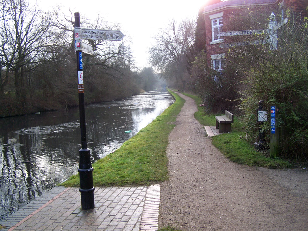 Looking down in the direction of Worcester. Both this Worcester canal and the Stratford canal pass through tunnels not far to the south of this junction. They have to pass through the range of hills which constitute the Severn-Trent watershed, which runs just south of Birmingham. Being early tunnels, neither has a towpath. The boats were ‘legged’ through, and the horses (or donkeys sometimes) were taken up & over the top.
 A much ‘doctored’ shot of the signpost. Worcester: 24½ miles, 58 locks; Stratford: 25½ miles, 55 locks; Warwick 20½ miles, 40 locks. Virtually all of them (or maybe indeed all, I don’t know) go downhill. Birmingham is on a plateau. Accordingly, the arm pointing to Birmingham, 5½ miles away, has no locks. And indeed you may tranquilly proceed through Birmingham as far as Wolverhampton – probably nearly 20 miles from this spot, as the canal goes, without a single lock. That’s probably because the earliest canal builders hated locks; nasty, expensive things: and always a bother to find water for them on the Birmingham plateau! So they kept to ‘contour canals’ which followed the same level, but inevitably by a roundabout route.
 Lastly, the view under the bridge, looking towards Birmingham. By now we were feeling chilled, and though refreshed by the clean, cold air, were becoming very hungry. Alas, we didn’t have any roast beef waiting for us. Indeed, I have not cooked roast beef for many years. But what a splendid idea. I really must get a modest joint for this coming Sunday – I already have a tray for fairy cakes which will do for mini Yorkshire puddings!
These images added later; date uncertain, but Spring!
 Quite a contrast in the weather – I’m standing on the bridge, looking towards Brum.
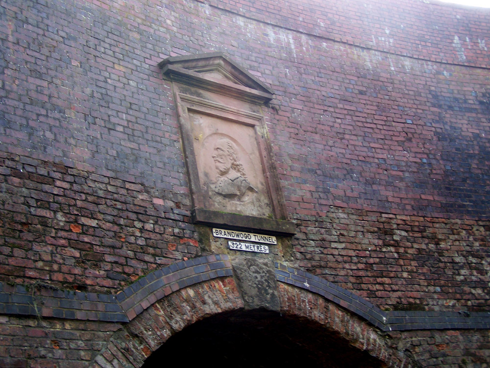 If you walk along the Stratford canal, after perhaps a mile, you come to the northern portal of the Brandwood Tunnel.
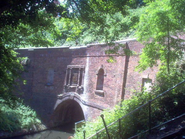 This is the Southern portal – a fuzzy image taken 27th June 2005
on my first digital camera, which wasn’t much to write home about,
though it seemed OK at the time!
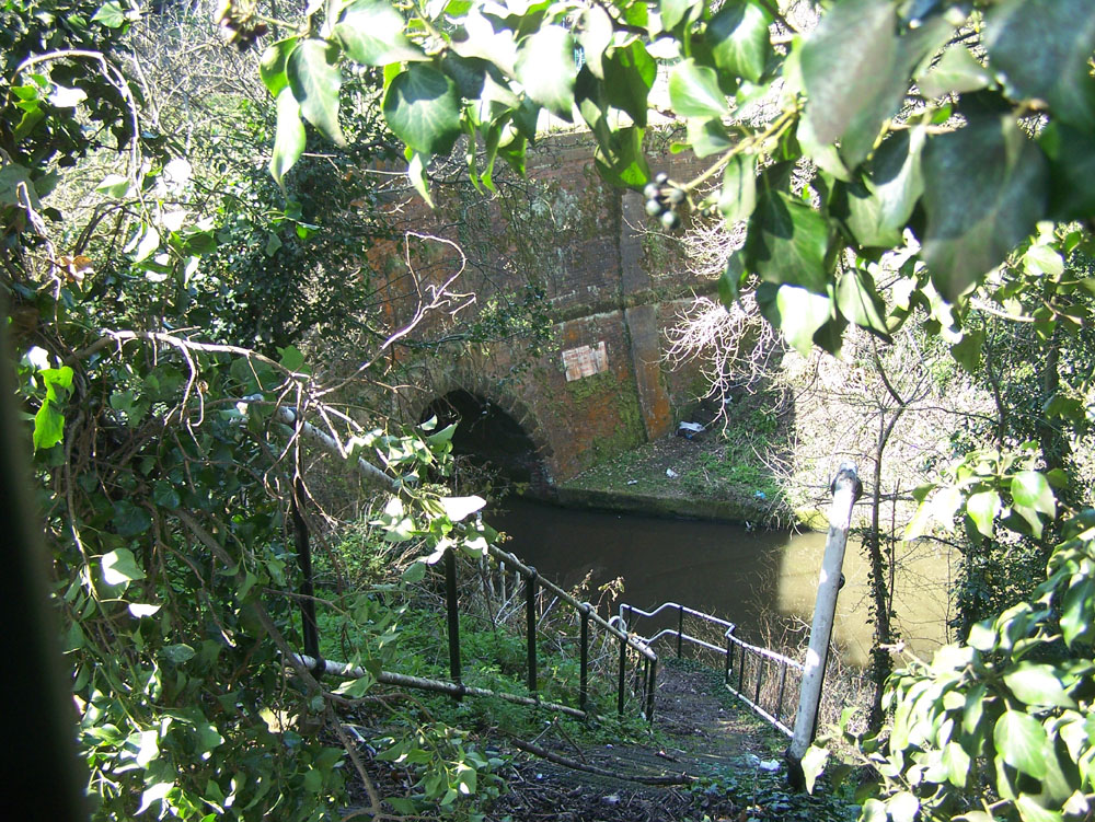 Whereas, if you walk along the Worcester canal, you come to the
north end of the Wast Hill tunnel…
 …and here is its southern end. It’s much longer than the Brandwood tunnel at 2,726 yards,
which is not bad for 1796!
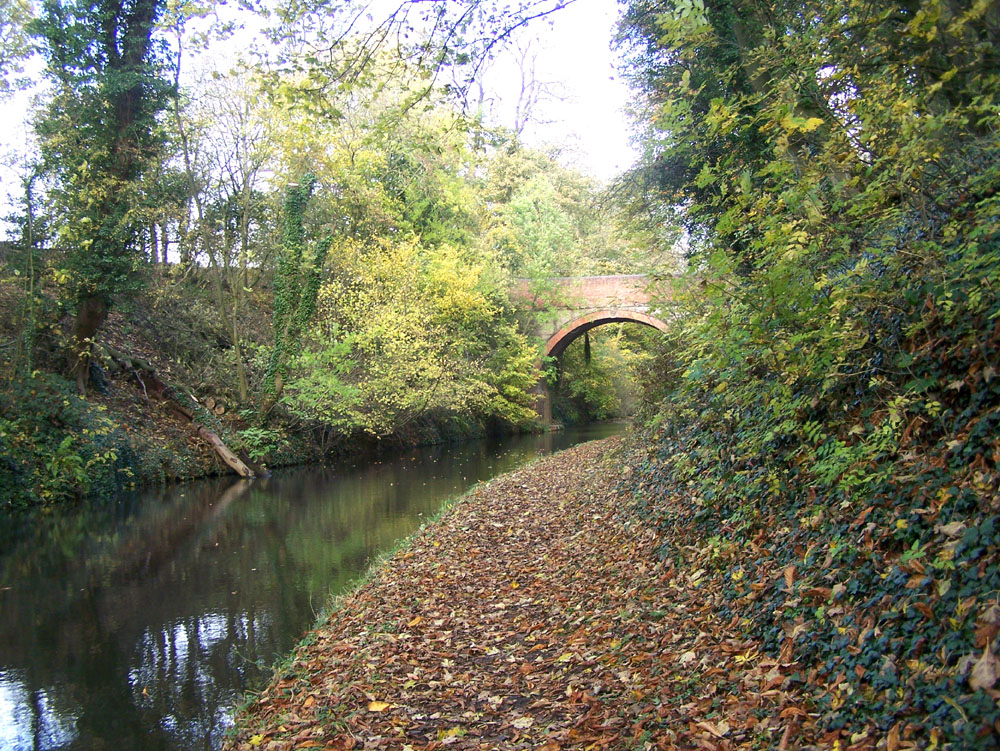 This is getting slightly silly, because this and the image below were taken in Autumn (year unknown), but we are now receding from the Wast Hill tunnel, going south-west towards Hopwood. That’s the trouble with canals & long things; you end up far from where you started!
 This is definitely the last in the series! We’re still going south-west, towards Hopwood. Past there, we have not been, though there is the Bittell canal reservoir. Then, after two more short tunnels, the Birmingham & Worcester enters the Tardebigge locks – thirty of ’em – the longest flight in the country. This has its own web-page, to be found under MIDLANDS, not BIRMINGHAM! Bon voyage!